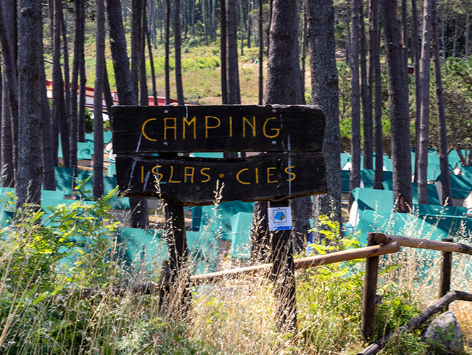
The Cíes Islands are not a conventional destination. They are a protected area within a National Park, and that means the way you move around, consume, and interact with the environment is different.
It’s not just about knowing what to do, but about understanding how to do it properly.
The visit is organized around one very clear axis: Rodas Beach.
From this point, the main routes branch out towards the north (Monteagudo) and towards the south (O Faro). All paths are signposted and well defined, but that does not mean orientation is automatic.
The map of the Cíes Islands looks simple at first glance, but it can be misleading when it comes to distances and walking times.
The Cíes Islands are part of a National Park, which means there are clear rules aimed at preserving the environment.
They are not recommendations. They are conditions for using the space.
![]()
![]() Allowed:
Allowed:
![]()
![]() Not allowed:
Not allowed:
The value of the Cíes Islands lies precisely in their conservation.
Access control, rules and usage limits are not arbitrary restrictions. They are what allow the environment to remain in the condition in which you are visiting it.

The setting is natural, so it is best to come prepared:
The signage in the Cíes Islands is clear, but the best way to find your way around is to understand the general layout:
Once this is clear, getting around becomes much easier.